DY
Issued to
David Young
Want to report a typo or a mistake?

Completion progress
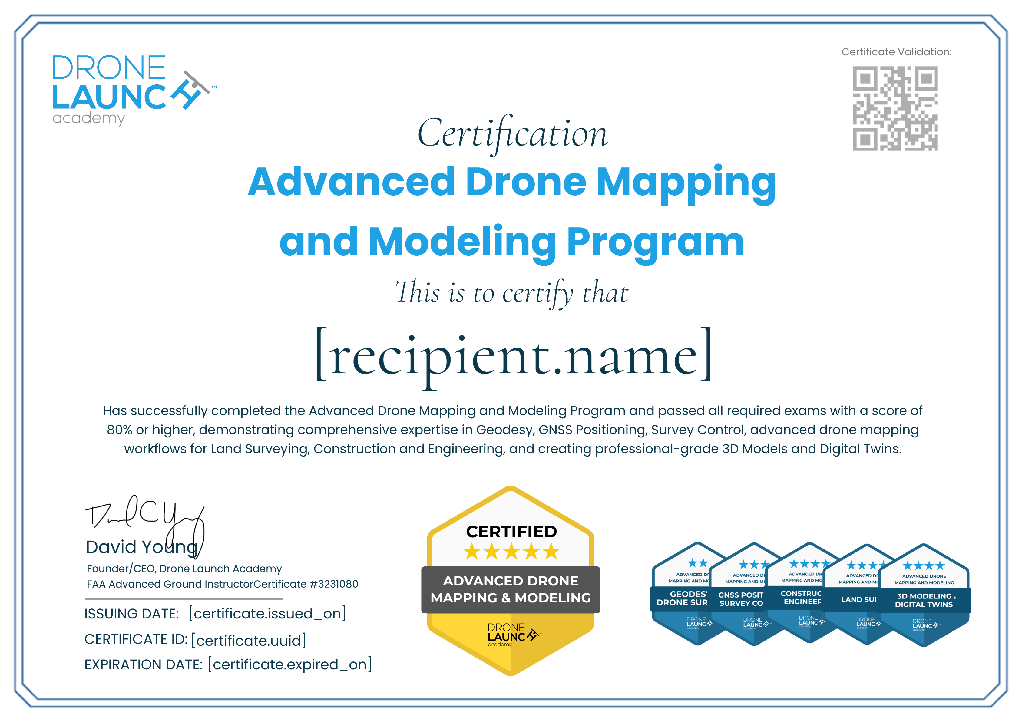
Advanced Drone Mapping and Modeling Program Certification
2/5
Credential Verification
Issue date: March 13, 2025
ID: a148ee50-fcbb-4374-8024-42da2960091c
Issued by
Drone Launch Academy
VERIFIEDDrone Launch Academy is a leading provider of commercial drone training, trusted by over 50,000 pilots since 2016. Our expert-led courses equip students with essential skills for drone operations, mapping, 3D modeling, and industry certification.
Type
Course
Level
Intermediate
Format
Online
Price
Paid
Description
The holder of this certificate has successfully completed Drone Launch Academy’s Geodesy for Drone Surveying course and passed a comprehensive exam, demonstrating competence in datums, coordinate systems, reference frames, and geodetic principles.
Skills
Geodesy
Coordinate Systems
Geodetic Control
Datums
Earning Criteria
Test
Passed Geodesy for Drone Surveying Final Exam with 80% or higher.