

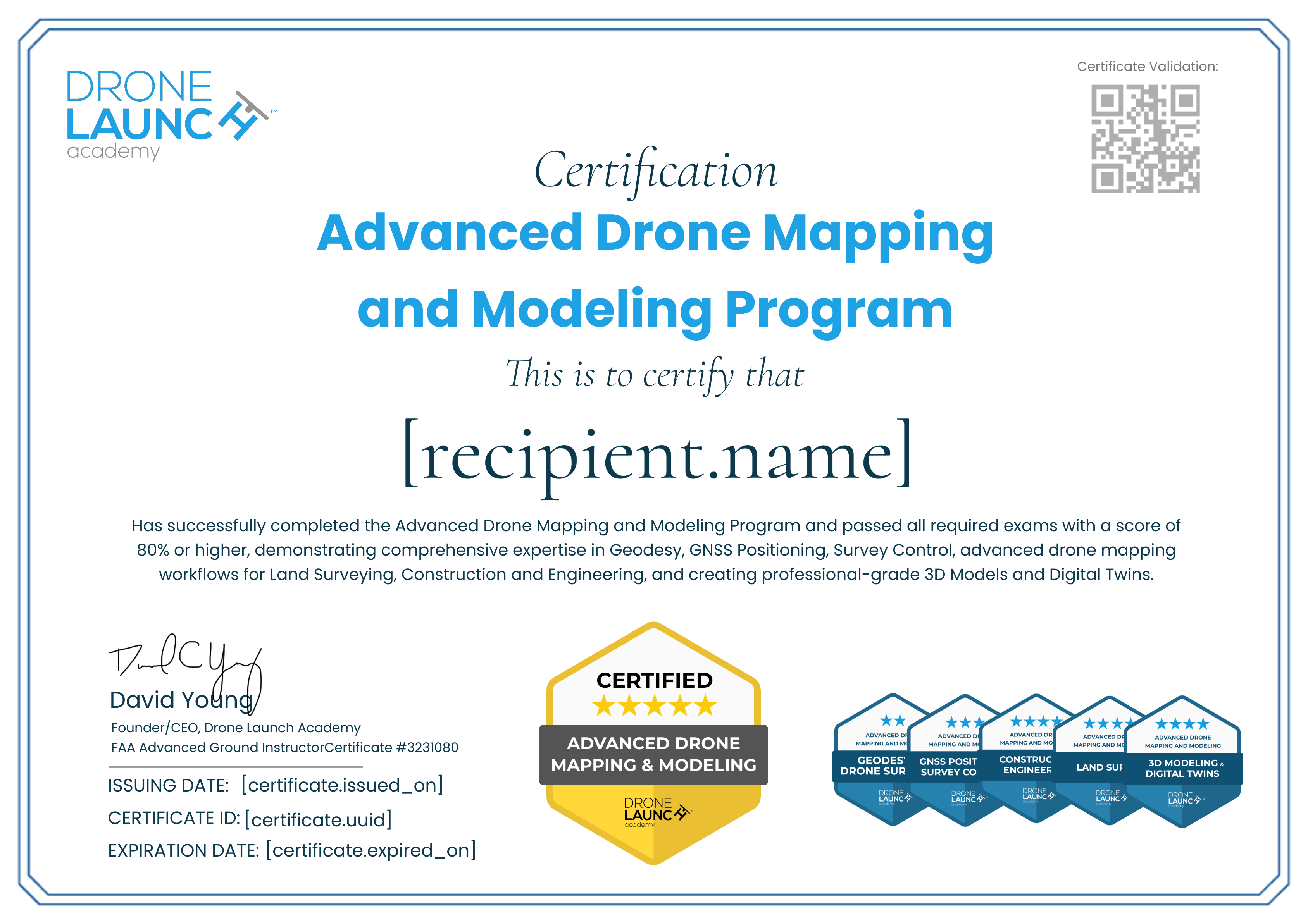
Advanced Drone Mapping for Construction and Engineering
Visit WebsiteType
Course
Level
Professional
Format
Online
Price
Paid
Description
The holder of this certificate has successfully completed Drone Launch Academy’s Advanced Drone Mapping for Construction and Engineering course and passed a comprehensive exam, demonstrating competency in drone-based mapping workflows, site monitoring, volumetric analysis, earthwork reporting, construction site documentation, and generating accurate engineering deliverables.
Skills
Civil Engineering
Construction Monitoring
Earthworks
Photogrammetry
Volumetric Calculations
Earning Criteria
Test
Passed the Advanced Drone Mapping for Construction and Engineering Final Exam with a score of 80% or higher.
Appears in Pathways
1 Pathway

Issued by
Drone Launch Academy
Drone Launch Academy is a leading provider of commercial drone training, trusted by over 50,000 pilots since 2016. Our expert-led courses equip students with essential skills for drone operations, mapping, 3D modeling, and industry certification.