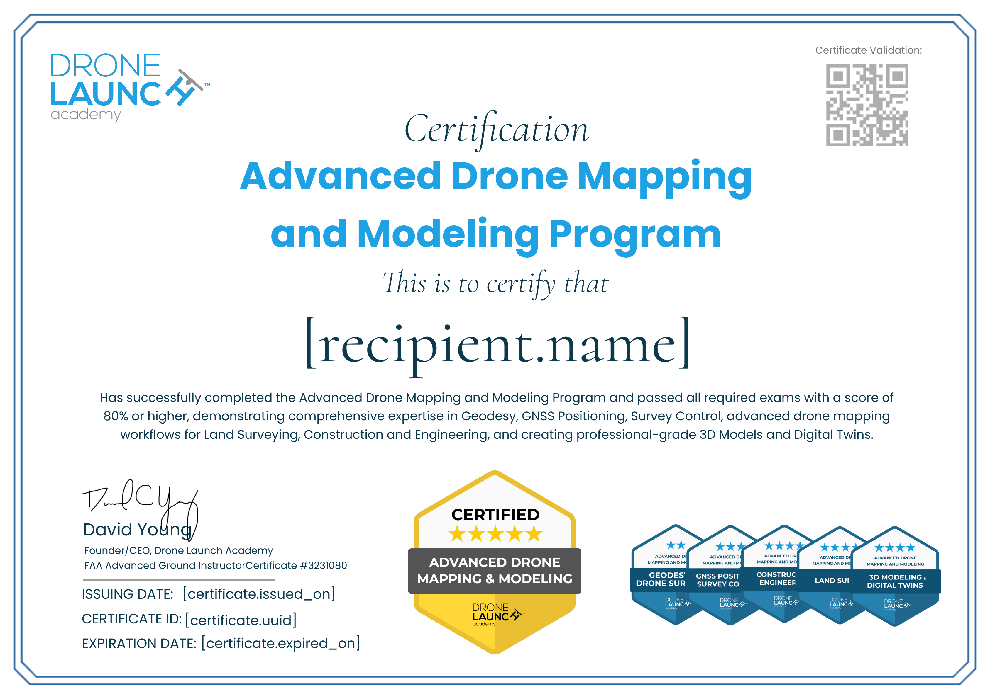
Advanced Drone Mapping and Modeling Program Certification
6 Credentials
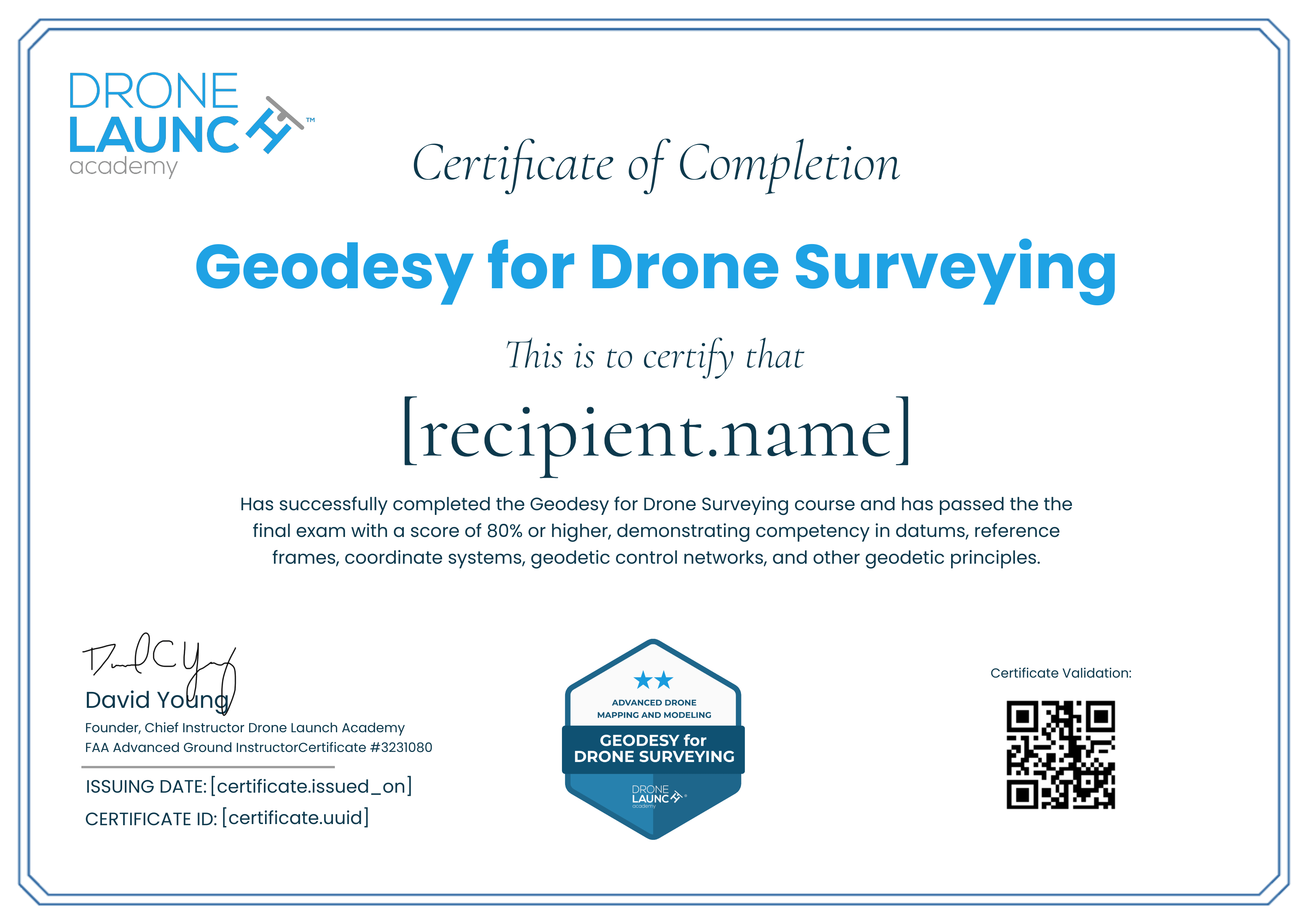
The holder of this certificate has successfully completed Drone Launch Academy’s GNSS Positioning and Survey Control for Drone Mapping course and passed a comprehensive exam, demonstrating competence in GNSS fundamentals, base and rover setup, RTK and PPK methods, survey control, and accuracy standards.

3
The holder of this certificate has successfully completed Drone Launch Academy’s Advanced Drone Mapping for Construction and Engineering course and passed a comprehensive exam, demonstrating competency in drone-based mapping workflows, site monitoring, volumetric analysis, earthwork reporting, construction site documentation, and generating accurate engineering deliverables.

4
The holder of this certificate has successfully completed the Advanced Drone Mapping for Land Survey course and has passed the final exam with a score of 80% or higher, demonstrating competency in drone-based topographic and planimetric mapping, photogrammetry workflows, ground control integration, data processing, and producing professional land survey deliverables.

5
The holder of this certificate has successfully completed Drone Launch Academy’s Advanced 3D Modeling and Digital Twins course and passed a comprehensive exam, demonstrating competency in drone-based photogrammetry, reality capture, data integration, model optimization, and producing high-quality 3D models and digital twins for commercial applications.

Completion Credential
The holder of this certificate has successfully completed the Drone Launch Academy Advanced Drone Mapping and Modeling Certification Program by passing all required exams with a score of 80% or higher, demonstrating comprehensive expertise in Geodesy, GNSS Positioning, Survey Control, advanced drone mapping workflows for Land Surveying, Construction and Engineering, and creating professional-grade 3D Models and Digital Twins.